

Cloud Storage
Hawk Imagery's cloud storage ensures secure, always-available data access, enhancing collaboration, facilitating seamless project management, and enabling informed decision-making anytime, anywhere.
Technology Behind Drone Mapping


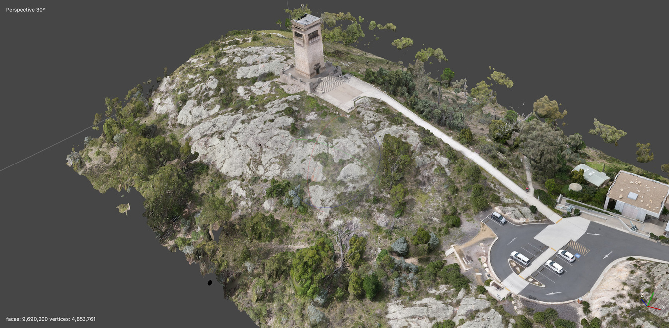
Photogrammetry
Photogrammetry transforms photographs into precise spatial measurements and three-dimensional models.
Global Positioning Satellites
Global Positioning Satellites enable precise location tracking and navigation worldwide.
Software
Drone mapping software stitches aerial photos into detailed maps, models
Why Hawk Imagery?

CASA Certified

15 Years Experience

Precision
Hawk Imagery stands unrivaled in precision, transforming aerial data into actionable insights with unmatched accuracy and detail.
About Hawk Imagery
Hawk Imagery leverages advanced drone technology to deliver unparalleled aerial mapping and photographic services. Specializing in photogrammetry, our drones capture high-resolution images, enabling precise measurements and detailed 3D models of any terrain. From agricultural surveys to construction site monitoring, Hawk Imagery provides eagle-eyed insights that elevate project planning and execution.
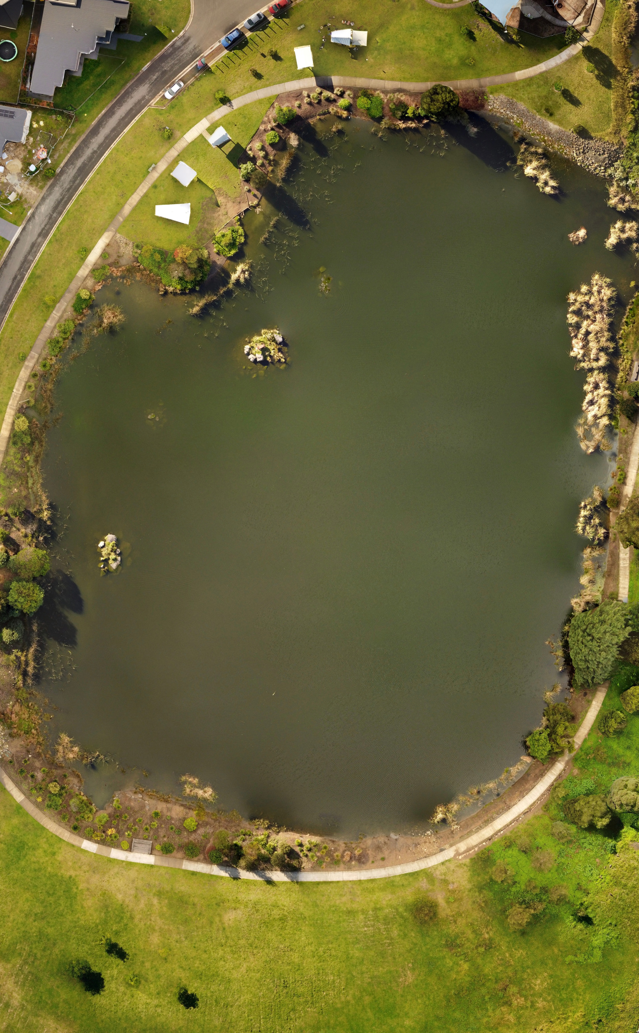
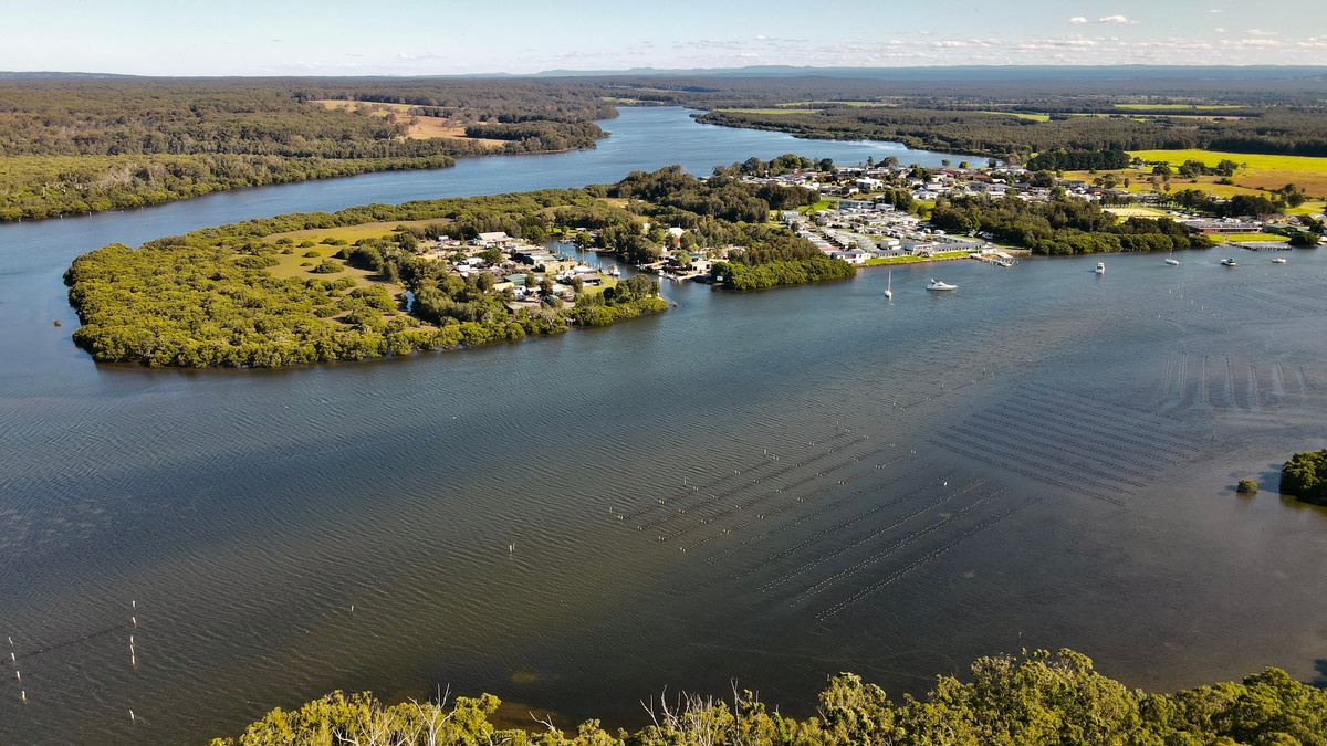
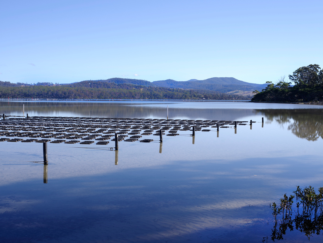
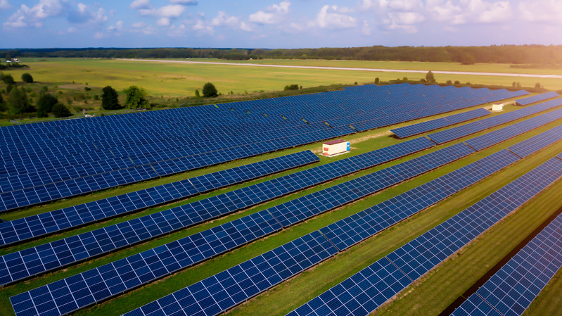
Some of our work
Oyster Farming
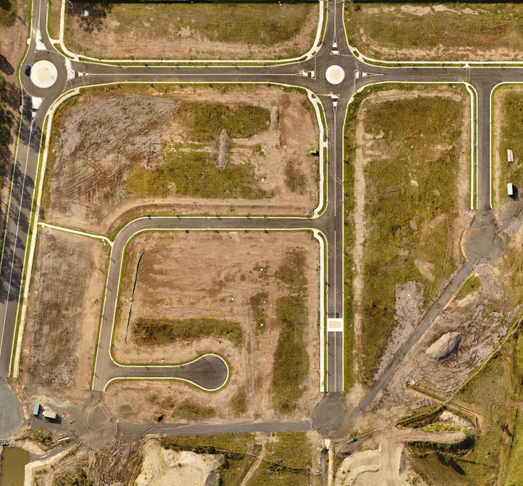
Civil Construction


Click Here
Click Here
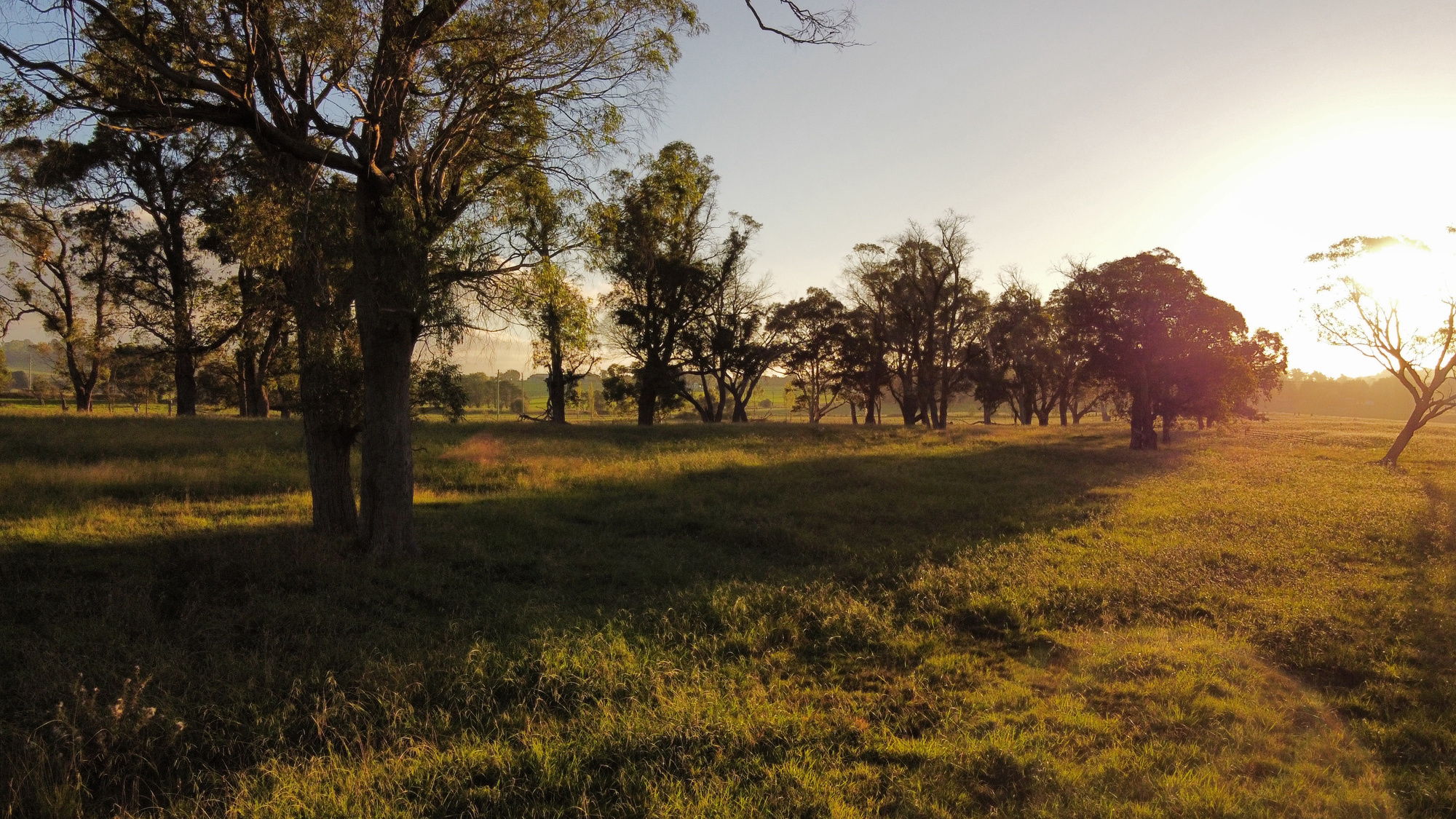
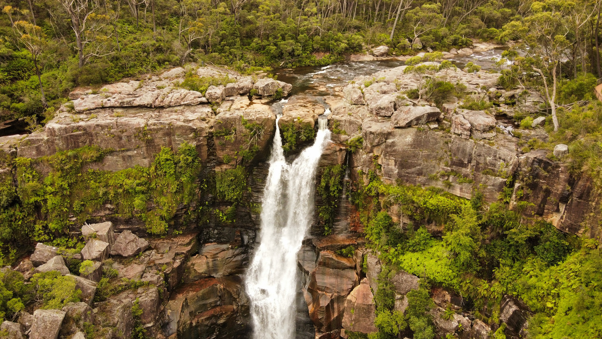
Environmental
Click Here
Elevate your project's vision with Hawk Imagery—contact us today!

0413178633

Hawkimageryaus@gmail.com

Shoalhaven NSW